!")
Falling Fruit is a mapping tool that, if it didn’t exist, we’d have to invent ourselves.
Anyone can contribute to this map of with their finds and gifts of edibles, thus facilitating connections between people, food, and the natural organisms growing in our neighborhoods. Not just a free lunch! Foraging in the 21st century is an opportunity for urban exploration, to fight the scourge of stained sidewalks, and to reconnect with the botanical origins of food.
The map also includes edible species found in municipal tree inventories – databases of street (and sometimes private) trees used by cities, universities, and other institutions to manage the urban forest. This already amounts to 704 different types of edibles (most, but not all, are plant species) distributed over 582,182 locations. Beyond the cultivated and commonplace to the exotic flavors of foreign plants and the long-forgotten culinary uses of native plants, foraging in your neighborhood is a journey through time and across cultures.
Let’s put Wayland on this map!
Join in celebrating the local and edible! The map is open for anyone to edit, the entire database can be downloaded with just one click, and the code is open-source. If you think it’s cool and want to say thanks, consider making a donation to help them pay our server costs.
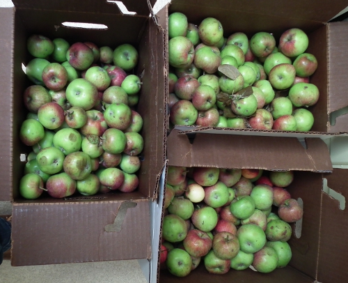
Finally, if you’ve picked more than you can use or are overwhelmed by the bumper crop from your private trees, we encourage you to donate the surplus produce to charity or your neighbors with the help of local food redistribution programs, like the Green Team’s and First Parish Pantry program, Parmenter’s Food Pantry, or, more regionally, the Boston Area Gleaners and the League of Urban Canners.